
Northwest of Cullman

North of Cullman, looking toward Vinemont

Northest Cullman County, west of Arab and Joppa

Just north of Lake Guntersville

Just north of Lake Guntersville
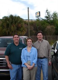
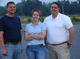
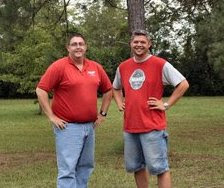
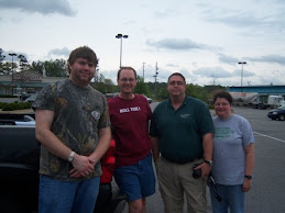
A huge thank you to Rick Lipscomb for his radar support during my chase today across North Alabama. I intercepted a mesocyclone and followed it from NW of Cullman, across the northern part of the county, all the way to Lake Guntersville. From there I drove south, on a fruitless chase down to Pinson, northeast of Birmingham. I did see a ton of heavy rain, minor flooding, and countless cloud to ground lightning strikes. Of course, I met some interesting folks along the way.






5 comments:
Impressive tail on that wall cloud. I would imagine that got a lot of "sheriff-nado" calls.
I bet it did. I wasn't able to hear much of that as I was so preoccupied chasing. There was damage about 1/4 mile down the road from my house.
Great pics for that chase..those heavy dark cloud are awesome and looks very attractive for a severe weather storm..
Thanks weatherman!
There were actually 4 EF 0 tornadoes confirmed by the NWS HUN on this meso....2 in Culman and 2 in Marshall.
Post a Comment